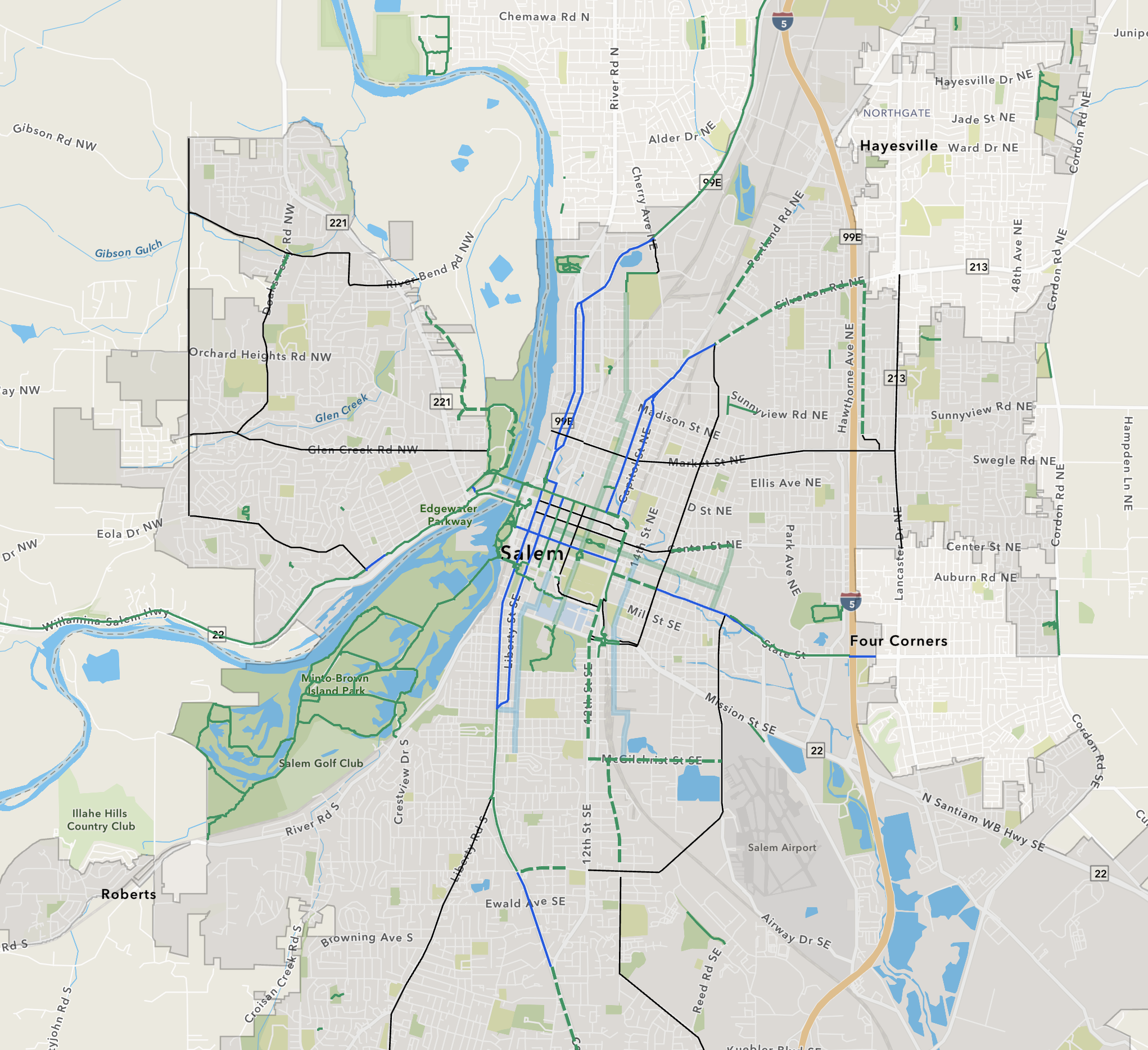
The Proposed Salem Bike Network
Understanding the Bike Vision
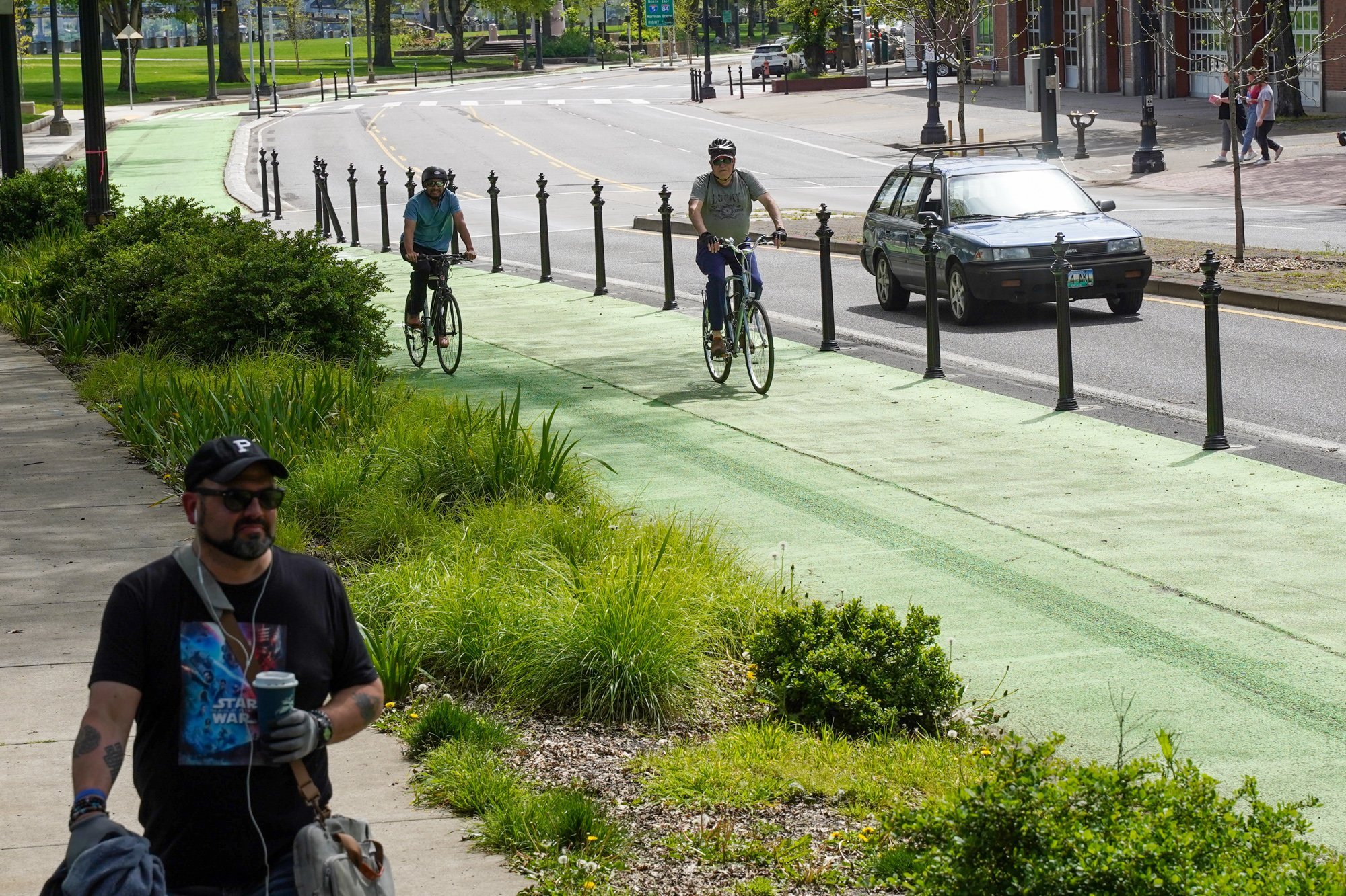
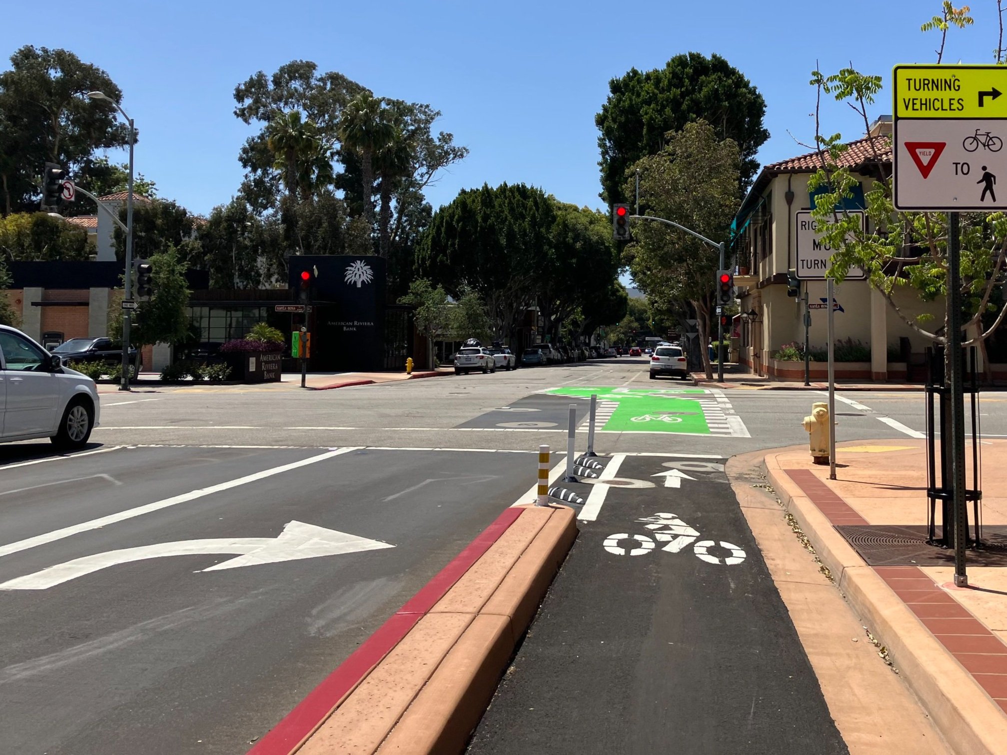
To quickly build out a bike network that is safe for riders of all ages, our plan minimizes the need for costly land acquisition and instead focuses on right-sizing existing streets and utilizing existing infrastructure. Such projects are not only cost-effective, but also improve safety for all road users, even those in cars.
Proposed Route Details

Downtown Core
Downtown is fast becoming a hub of activity with new housing options and unique shopping and dining experiences. This densely populated area will benefit from bike lanes buffered by parking strips and intersections controlled by bike signals and clearly marked crossings.

South Salem
Commercial Street and Liberty Street are the most direct routes for South Salem residents and, with a few minor adjustments, residents who bike will have equal access. When we right-size our travel lanes we can add in protections for bike lanes and by reducing lanes on S. Liberty Rd. we can open up bike access to a heavily residential area of South Salem.
The existing promenade connects State buildings and our historical district to the up-and-coming area of 12th and 13th Streets Southeast which are full of trend-setting shops, services, and housing.

East Salem
Our residents in East Salem will have unprecedented access with an improved 17th Street. The principal east-west cross-city corridor will be State Street, which will benefit from road diets, narrowing lanes to reduce speeds and to add protected bike lanes on both sides.

West Salem
The West Salem area brings with it many exciting opportunities. With the completion of Marine Drive, residents will have access from Wallace Marine Park north to Riverbend Road. From there, folks can bike up Brush College Road to a newly created multi-use path through a potential partnership with power companies. This approach is being used in cities across Oregon and the entire country, and has the potential to provide access from the new housing developments to the north, all the way down to Eola in the south A new path will connect the Union Street bridge to the crosswalk and crossbike to west Salem’s burgeoning downtown along Edgewater Street.

Northeast Salem
Silverton Road and Portland Road will serve as the main corridors connecting northeast Salem to downtown and the other parts of the city. Fisher Road, meanwhile, which is just within city limits, will serve as a north-south corridor connecting northeast Salem to east Salem.
A Proven Strategy: Vancouver
A project in Vancouver, WA, which right-sized travel lanes and added bike lanes:

Reduced crashes by 52% on a major road with average daily traffic of 17,000 vehicles
Traffic speeds went down 18%, traffic spillover into nearby roads did not occur
An overwhelming majority (67%) of users surveyed felt safer