

Low-Stress Bike Map
Salem Bike Vision has partnered with Bike Streets to build a free, easy-to-use bike navigation app for Salem!
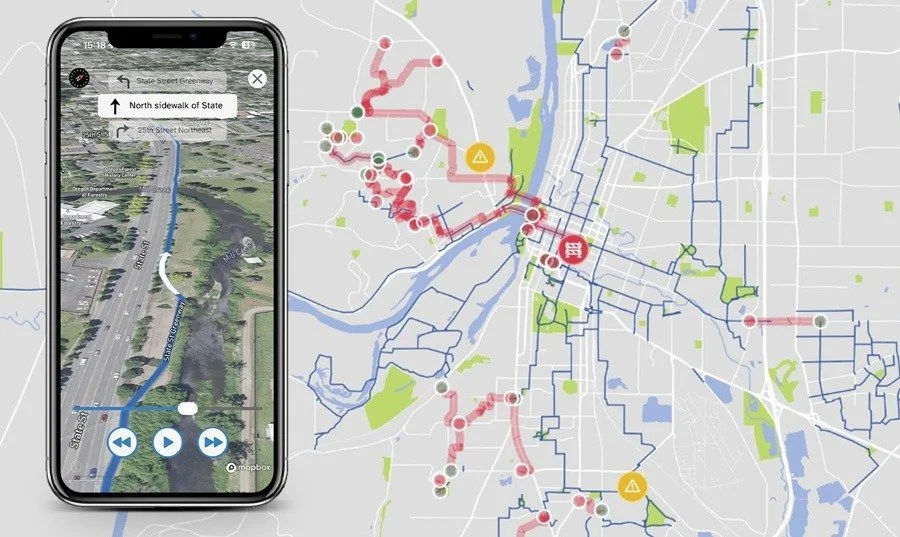
Unlike navigation apps built for cars, Bike Streets will not route you on a high-speed road where the bike lane disappears (yes, we are thinking about Cordon Rd over Highway 22). The Salem Bike Streets map is built by collective experience of Salem-area cyclists.
The Bike Streets map reflects the Best Available Network and helps navigate cyclists through the conditions as they are now. As we are keenly aware, the current network is lacking. As a result, Bike Streets will sometimes take you on safer, but longer journeys, which may include sidewalks, crosswalks, and alleys.
Salem Bike Vision remains committed to building out a city-wide network easily accessible to riders of all ages and abilities.