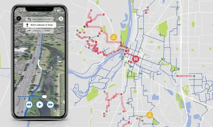
Bike Streets App
We have partnered with Bike Streets, a company based in Denver, to build a low-stress bike network map and routing app. The app (iOS and Android) is free. We are gathering our collective wisdom of all the streets, paths, and cut throughs in Salem that are safe for all ages and abilities (i.e. painted bike lanes on busy roads are not included). Help us build out the map, by adding your favorite routes in the app and flag areas that need extra caution. Already see a route you like suggested? Vote for it.
This map presents the “best available network.” We remain as committed as ever to building out the best bike network ever, but in the meantime we are developing this tool to help you and others navigate this city we love.
If you have familiarity with OpenStreetsMap or have a truly encyclopedic knowledge of all the routes that you would feel comfortable taking an eight year old on, then please reach out to ian@salembikevision.org to join the mapmaking team.